July 9, 2026
Travel day always begins with one big question: Which route should we take?
Before eaving Ellijay, we spent quite a bit of time looking at maps and discussing our options. As anyone traveling in a large motorhome knows, the shortest route isn’t always the best route. Mountain roads, tight curves, and low clearances can quickly turn an enjoyable drive into a stressful one. My biggest concern was finding ourselves on a road with too many sharp curves through the mountains. Ken had another concern—an underpass near Chatsworth with a posted clearance of 13 feet 7 inches.
We had driven under that same underpass on our way to Ellijay without any issues, but it was still fresh in our minds. Ken hoped we could find a route that would avoid it altogether. After comparing several options, we finally settled on a route that looked like the best balance of good roads and manageable grades. As luck would have it, our chosen route still took us to the Chatsworth underpass. When we reached it, we slowed down, lined up carefully, and…no problem!
The rest of the drive was pleasant and uneventful—Highway 411 through Etowah, Englewood, and Madisonville to Venore. From there we took Highway 72 to The Cove Campground on Tellico Lake. I received a gate code, but of course I couldn’t find it when we needed it! A very nice man who had driven through before us came back to help. As it turned out, the code was simply the last four digits of my phone number! Then I remembered!
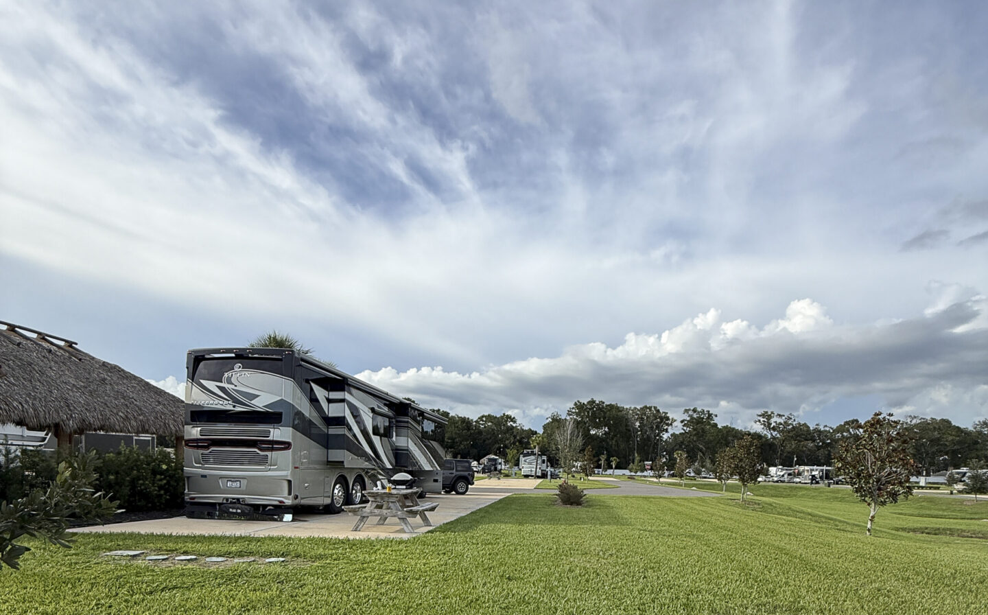
We selected this campground without any recommendations, so we weren’t sure what to expect. We were pleasantly surprised! The site we selected had a great view of Tellico Lake. During setup, we met our neighbor, who told us everything we needed to know!


July 10, 2026
The weather forecast called for rain throughout the day. We got up early, and it was cloudy but no rain. We decided that we should go drive the Tail of the Dragon: an 11-mile section of U.S. Route 129 that has become a hugely popular destination for motorcyclists and sports car drivers. It’s known as America’s most exciting 11 miles…we were going to find out! Ken mapped out a 120-mile trip, we packed a few snacks and drinks, and off we went.
Not long after we started on the mapped route, we lost our cell service and GPS. After driving for quite awhile, we realized that we must have made a wrong turn or missed a turn somewhere because we had no idea where we were. The road was paved at first, then changed to a narrow paved road with no center lines, and eventually turned to gravel. We found ourselves in some kind of state park/grounds passing by several numbered campsites and occasionally some campers. We drove about 20 miles before finally meeting up with a park ranger. He told us we were about three miles from the highway and gave us directions towards the Tail of the Dragon. Once we reached the highway, we finally regained cell and GPS service. Sigh of Relief!


We made it to the start of the Tail of the Dragon, stopped for photos, a T-shirt, and a magnet, and then we were off for 311/18 curves in 11 miles! (some say 311, others 318) There were photographers stationed along the route, so we knew a souvenir photo was coming. Ken maneuvered the curves like a pro, and we finished the drive before the rain arrived.


Back at the campground, we took a nice walk through the woods to a neighboring campground. We love looking at all the different types of RV setups. Tellico Lake is a boater’s paradise, and most of the campers are seasonal visitors who live nearby and come on the weekends to camp and boat.


July 12, 2026
Since rain was predicted, We drove around Tellico Lake looking for some of the magnificent lake homes we could see from our RV. We were lucky and found the neighborhood! Beautiful waterfront homes lined the lake. We learned that many of the homeowners are from the Knoxville area. Homes on Tellico Lake are generally more affordable than lake homes closer to Knoxville. It’s only about a 35-mile drive, so it makes sense.


Today we took a picnic lunch and set out on another drive. We used the same route as before, but this time we figured out where we made our mistake—we had missed a turn on our earlier trip. But, not today.

This time we drove the Cherohala Skyway, a 43-mile National Scenic Byway connecting Tellico Plains, Tennessee, with Robbinsville, North Carolina. The byway follows the Tellico River and offers several overlooks with expansive views of the Tennessee Valley and surrounding mountain peaks. We drove part of this route the other day, but, it was so foggy we could only see the yellow and white road markings. Today we had better views!


We stopped for our picnic lunch at a quite overlook. It was cloudy and cool…in the high 6o’s.


At the end of the skyway, we had to make a decision: drive the Tail of the Dragon again or take the longer route through Great Smoky Mountains National Park. We decided on the Dragon. Our future travels will take us back to the Smokies, so there was no need to visit the park today.
As we traveled the Tail of the Dragon, I tried to count the curves. Needless to say, I was way off! The road seemed curvier today, but, Ken said it was because he was driving faster! We were surprised that there was not much traffic for a Sunday afternoon.
We stopped at another souvenir/photo location at the end,..I guess we missed it the other day. It was a fun place to look around, but, no purchases.
Back at the RV to watch the boaters and wait on the rain.


Next stop… Sevierville, Tennessee!
You must be logged in to post a comment.